DON'T ASSUME. KNOW.
Get ahead of building issues with evidence,not guesswork.
Scanware combines drone scanning, thermal, and pricision 3D imaging with years of experience to help owners and managers identify hidden building issues, make better operating decisions, and reduce avoidable costs.
MANAGE YOUR RISK
What's the cost of not knowing?
EXPERTISE ON EVERY JOB
Why Scanware?
We bring the highest standards for professionalism to everything we do – from the hardware we work with, to the certifications and licenses we carry, and the experience to back it up.
15+ years combined experience
Flying, scanning, and providing these exact deliverables to clients.
FAA Part 107 certified, including night operations and LAANC waivers
Cleared to fly in controlled airspace and after dark without delay.
NDAA-compliant hardware available
For engagements where compliant equipment is required.
Level II Thermographer review on every thermal job
Findings are read and annotated by a trained specialist, not just software output.
On-prem data processing
Your data is processed on hardware we control, not a third-party cloud, so your data stays private to you.
ONE SCAN, MULTIPLE LAYERS.
Trust what you can see.
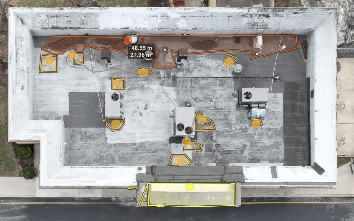
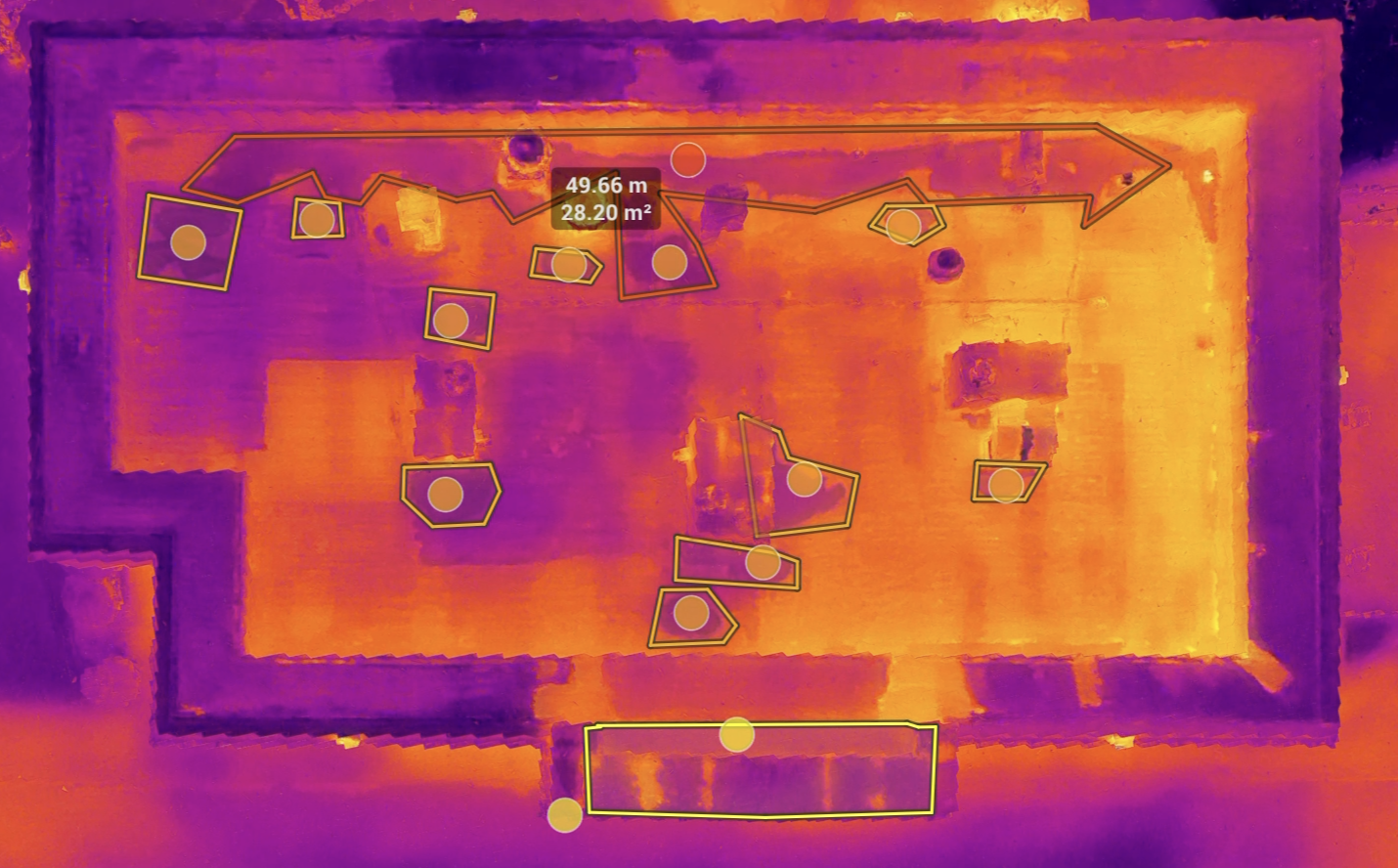
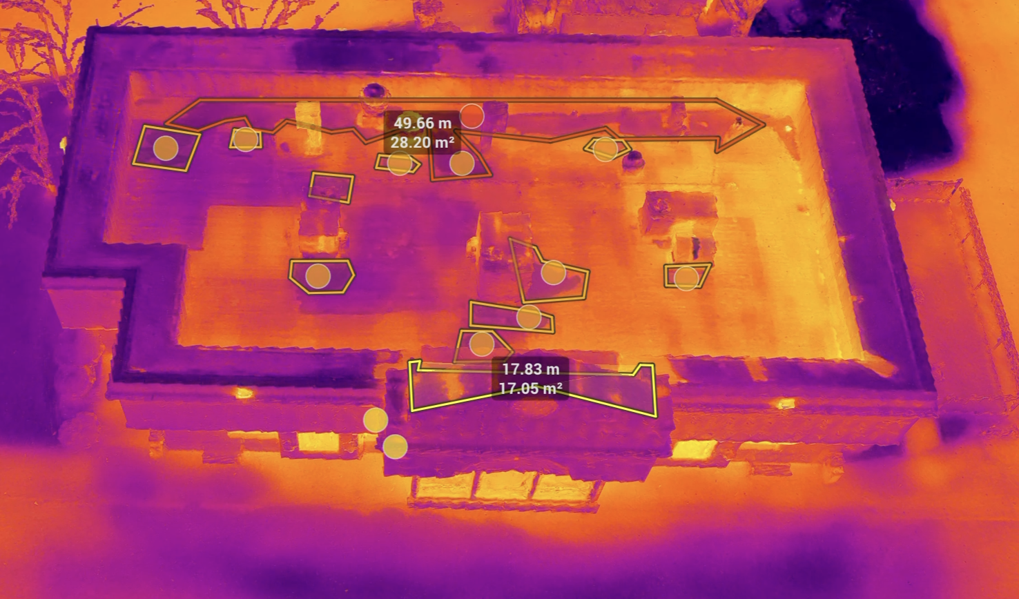
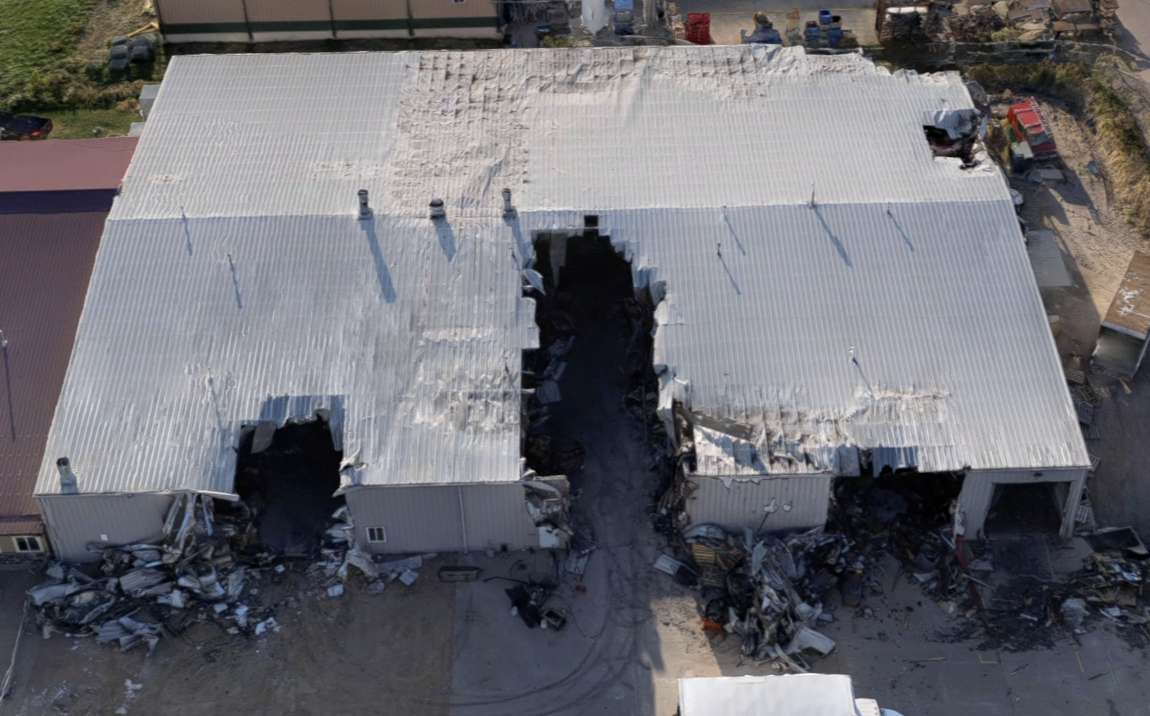
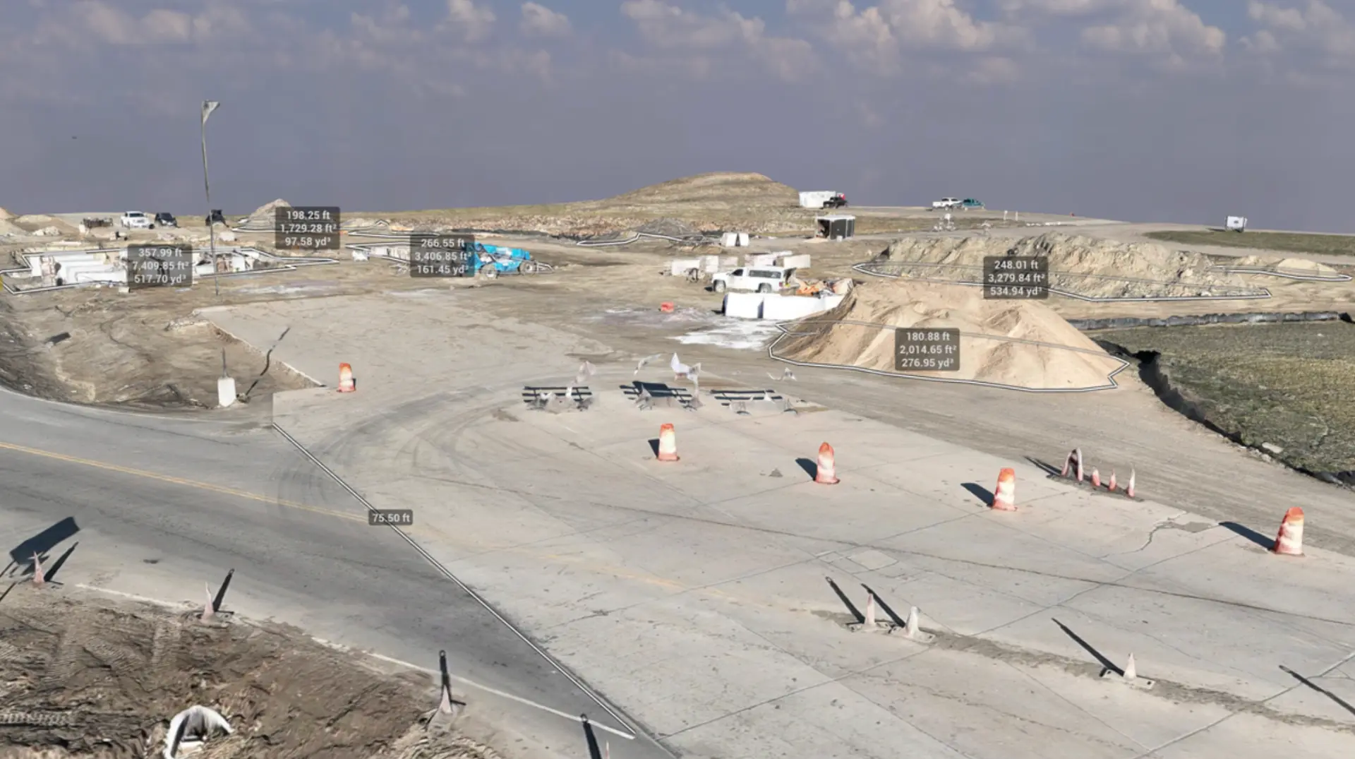
We use RGB mapping, drone and terrestrial LiDAR, radiometric thermal scanning, and 3D gaussian splat rendering to give you the full picture of your building's status.
Services
Built to answer real-world property questions.
We tailor our services to answer specific questions you have about your property, and to give you the peace of mind that comes with seeing the detailed answers for yourself.
Get a clearer view
What can Scanware do for you?
Tell us about the property, portfolio, or inspection challenge your team is facing. We'll discuss how Scanware can help solve it.